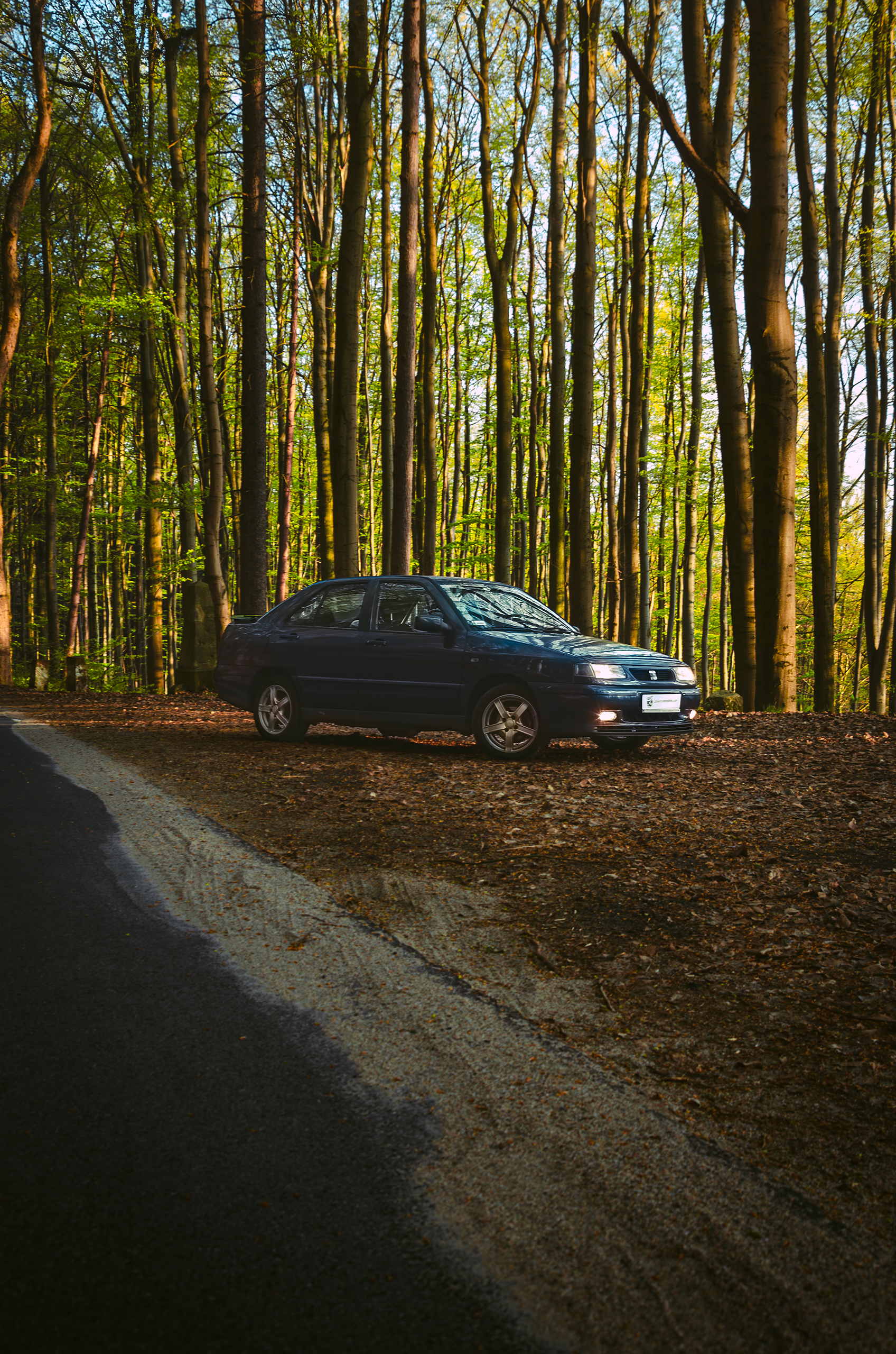
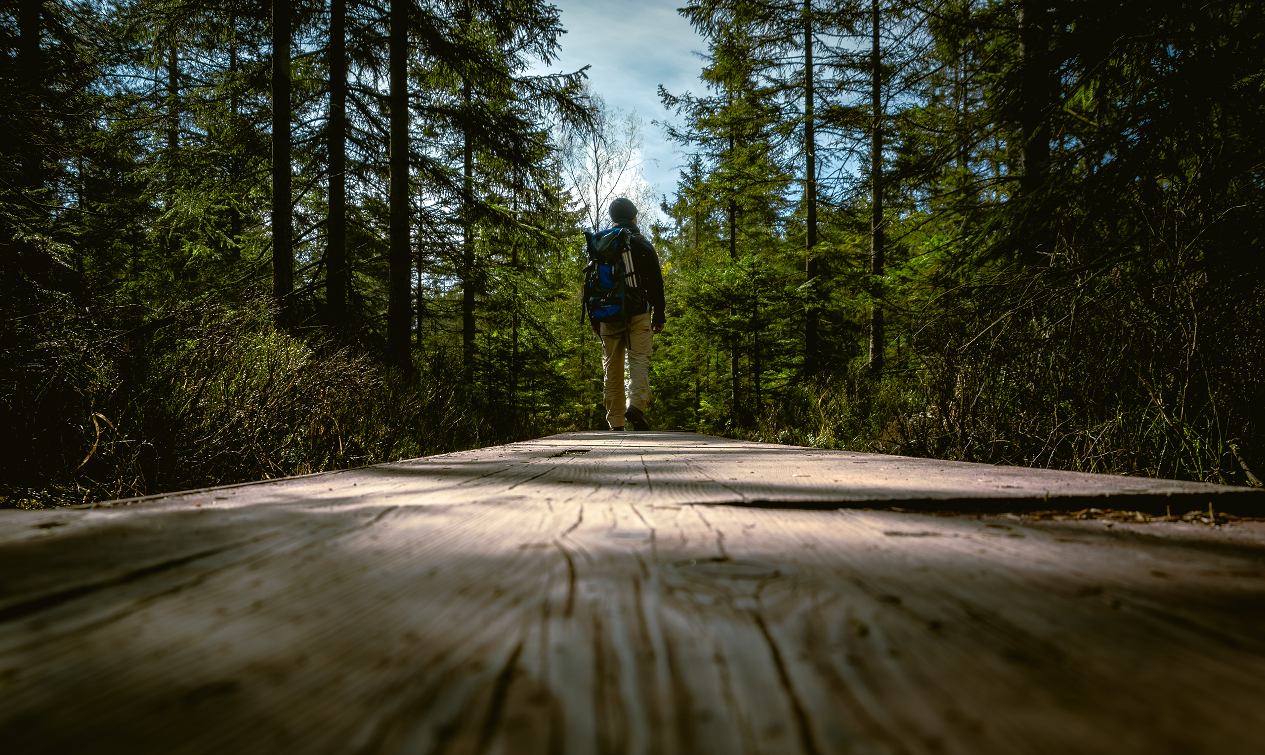
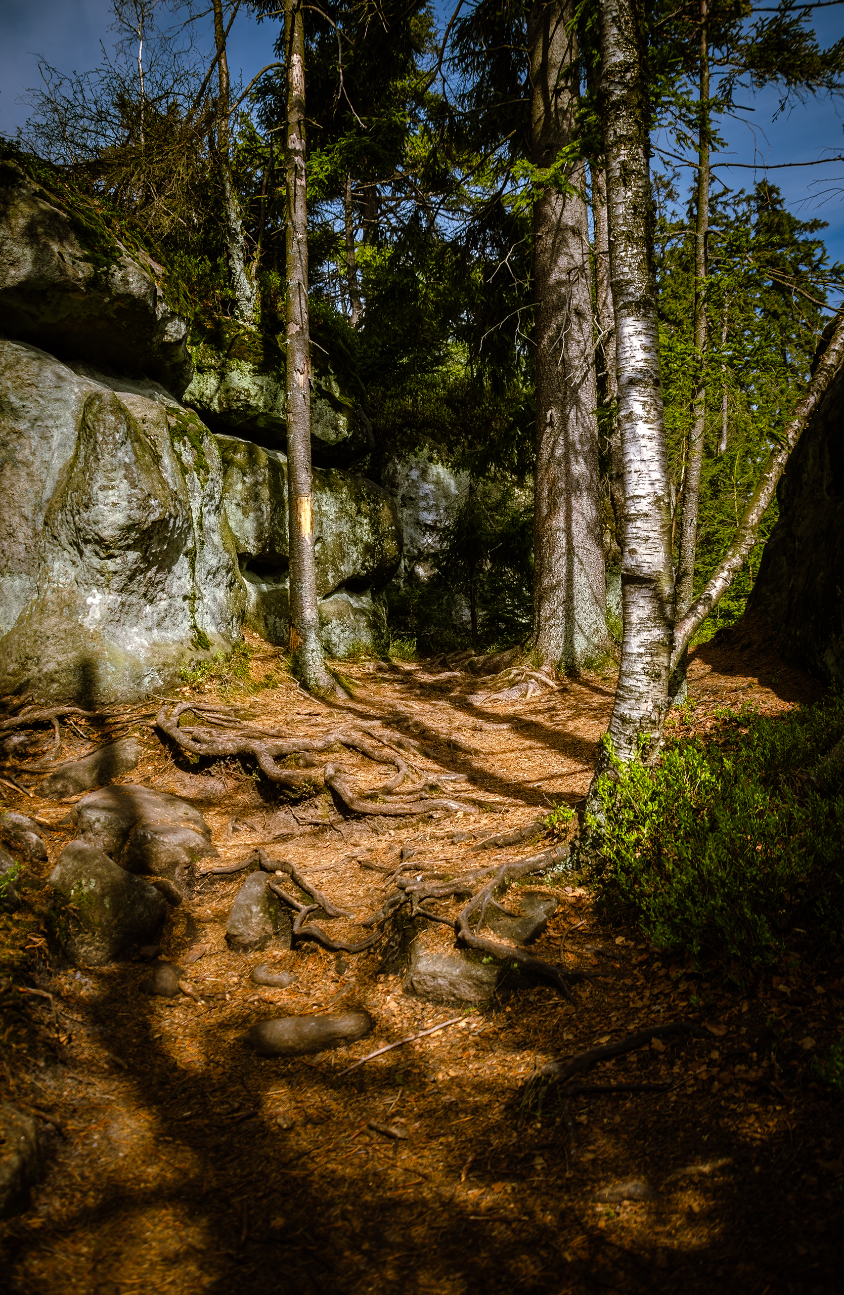
I recently finished editing the photos from my trip to the Stołowe Mountains, which I took in April. The weather was great, and there weren’t too many hikers on the trails. Thanks to that, I was able to relax and forget about the worries of everyday life for a while 😊. Below you’ll find photos I took during this nearly three-day trip, as well as maps showing the places I visited.
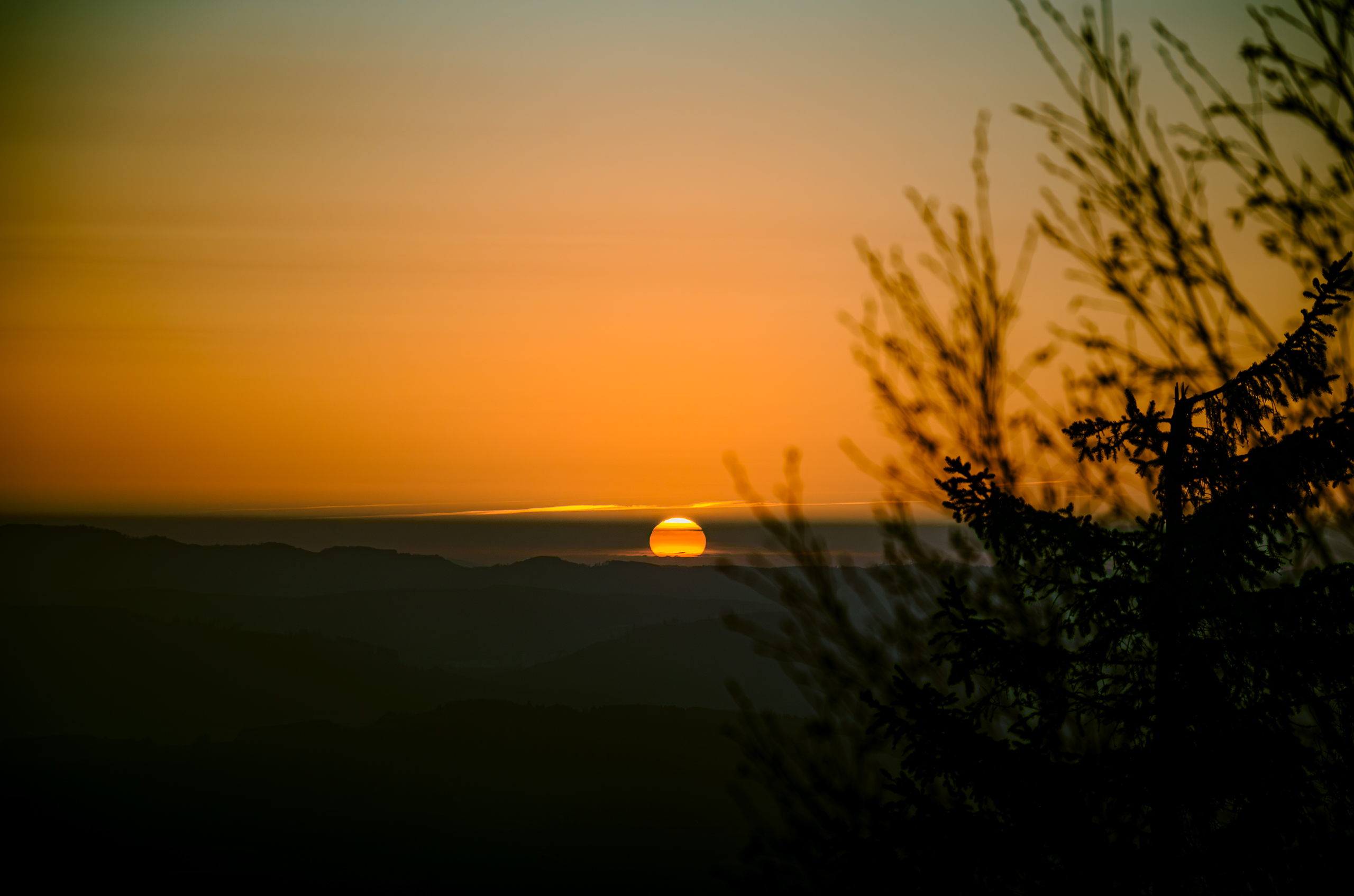
Morning near the shelter on Szczeliniec Wielki.
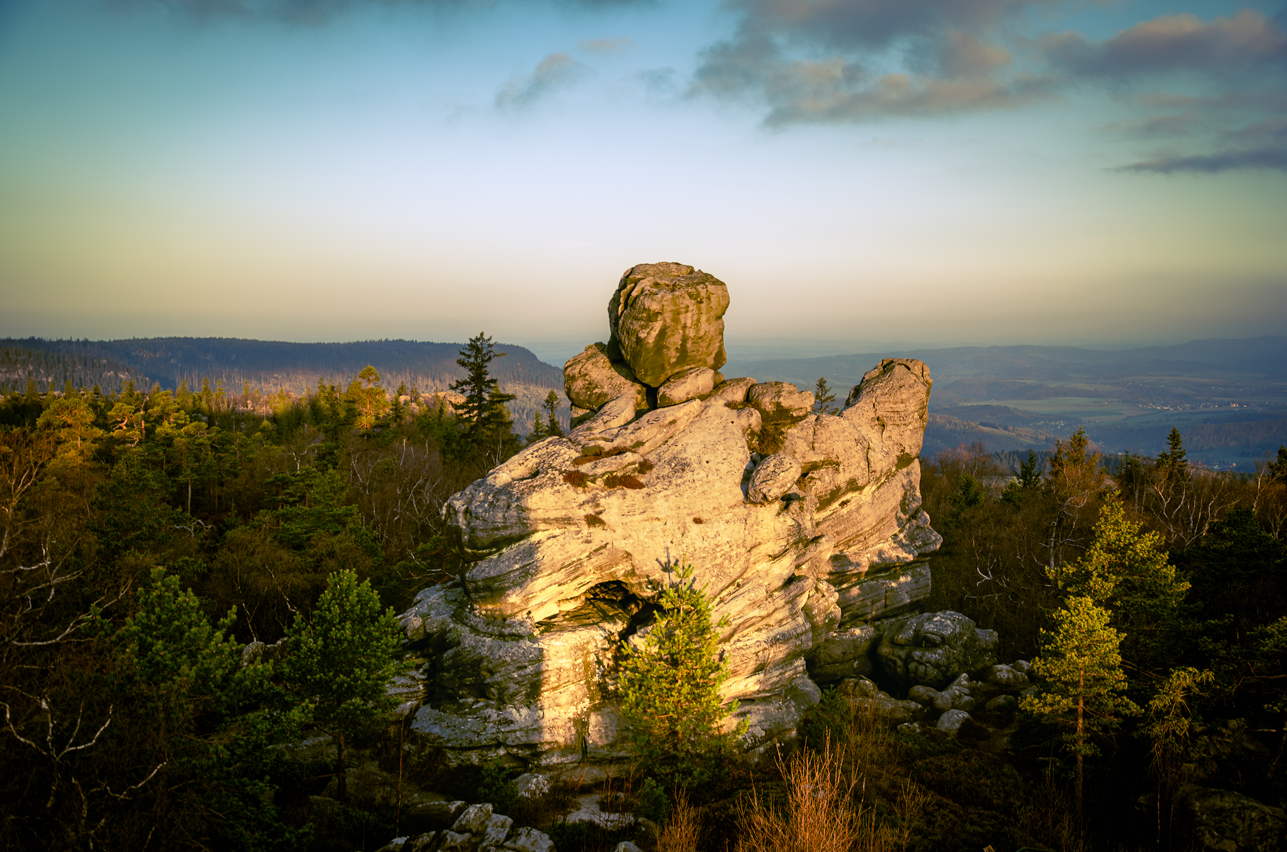
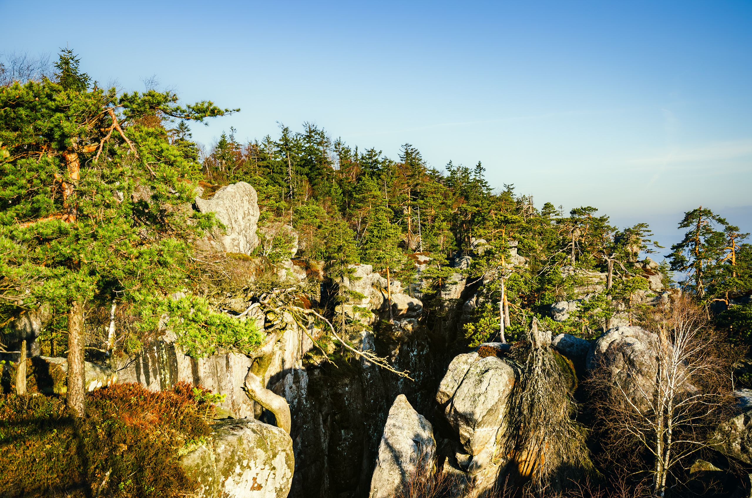
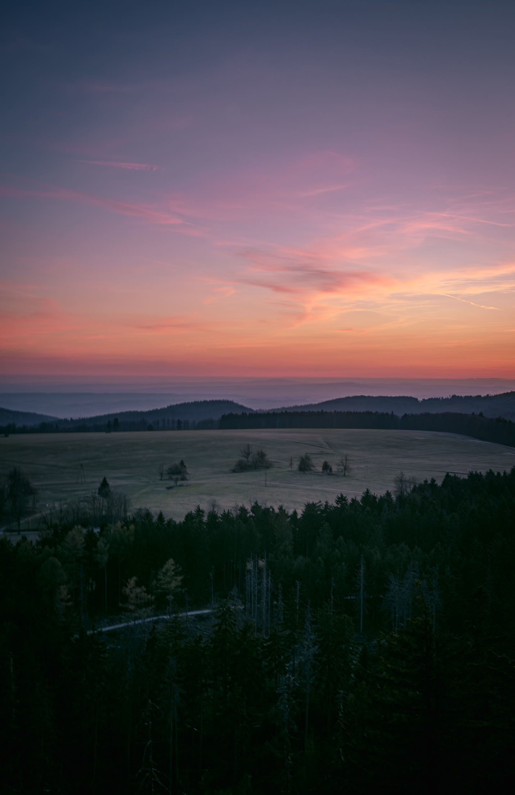
View from Szczeliniec Wielki.
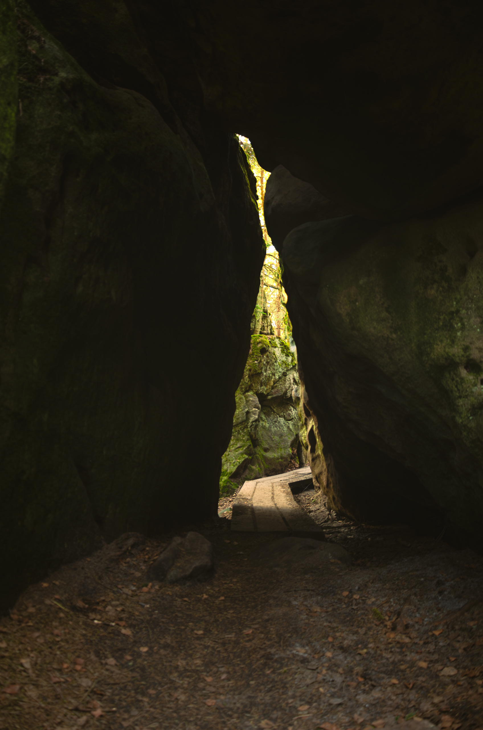
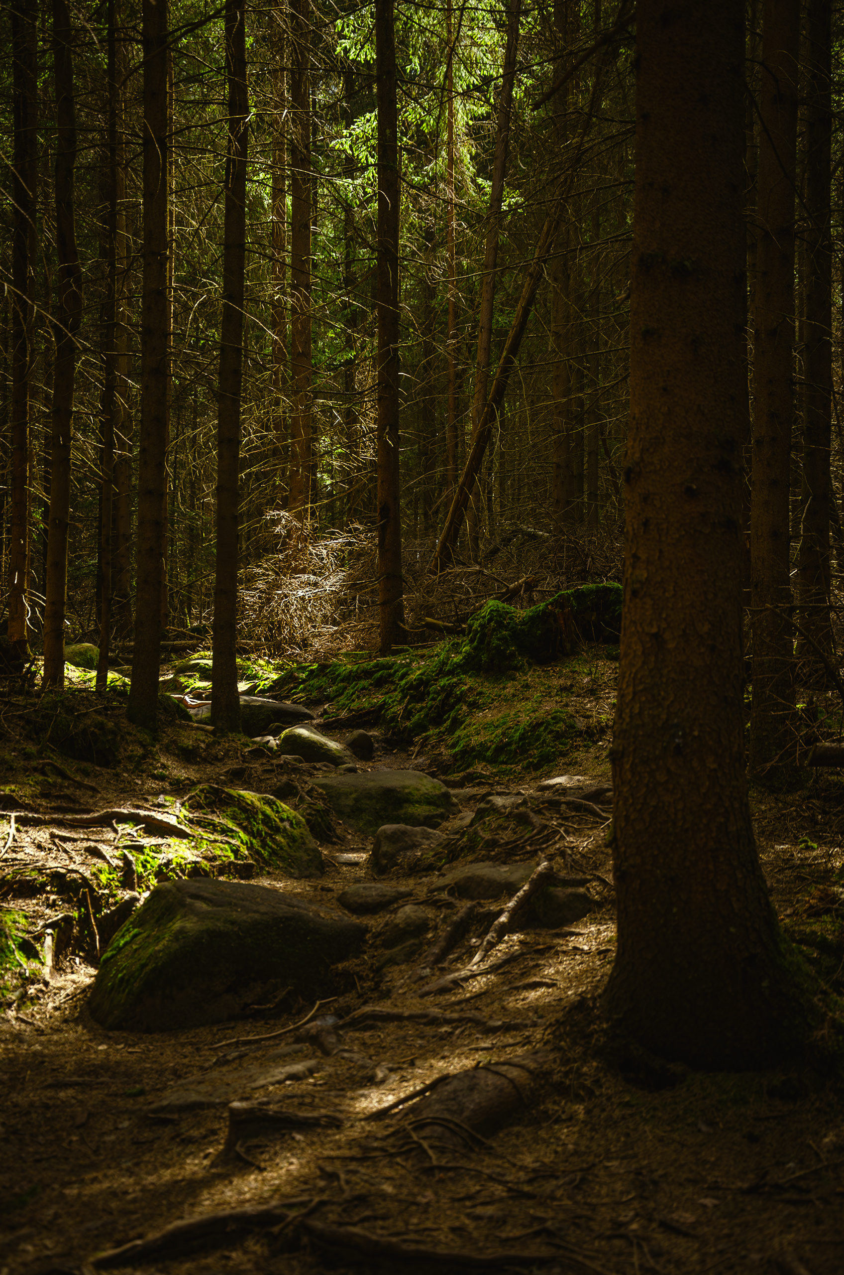
The return trail from Szczeliniec Wielki.
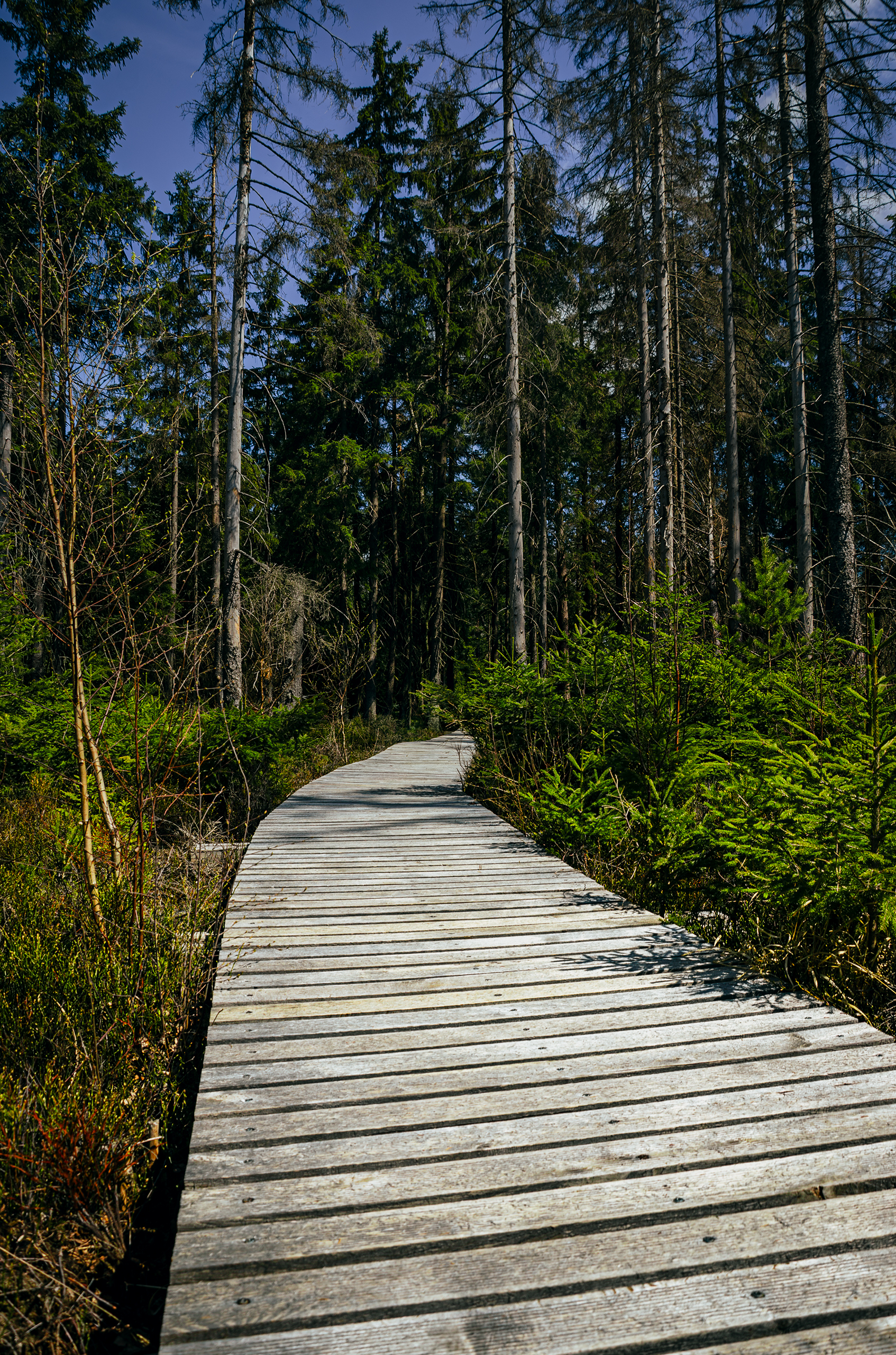
Path - Niknąca Łąka.
An Evening on Mount Narożnik.
That is me 🙂
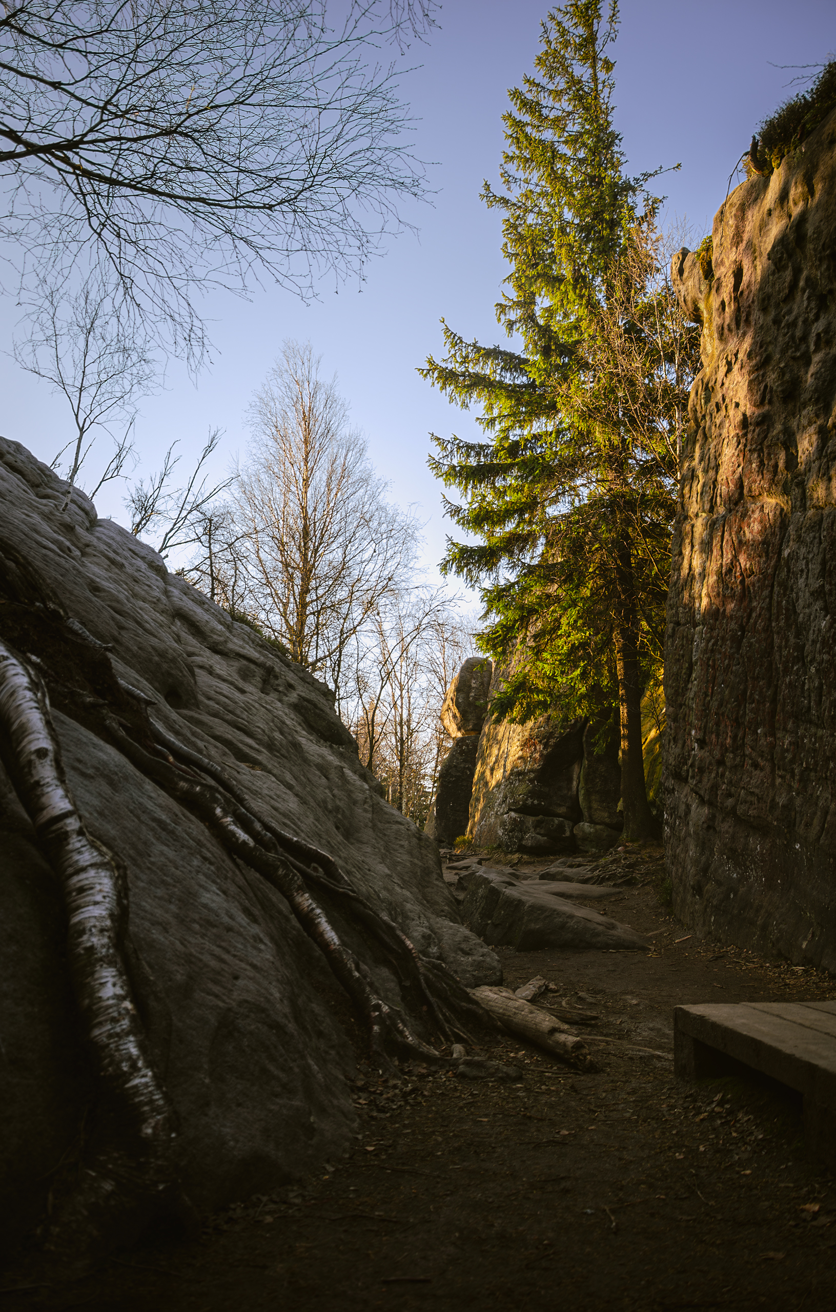
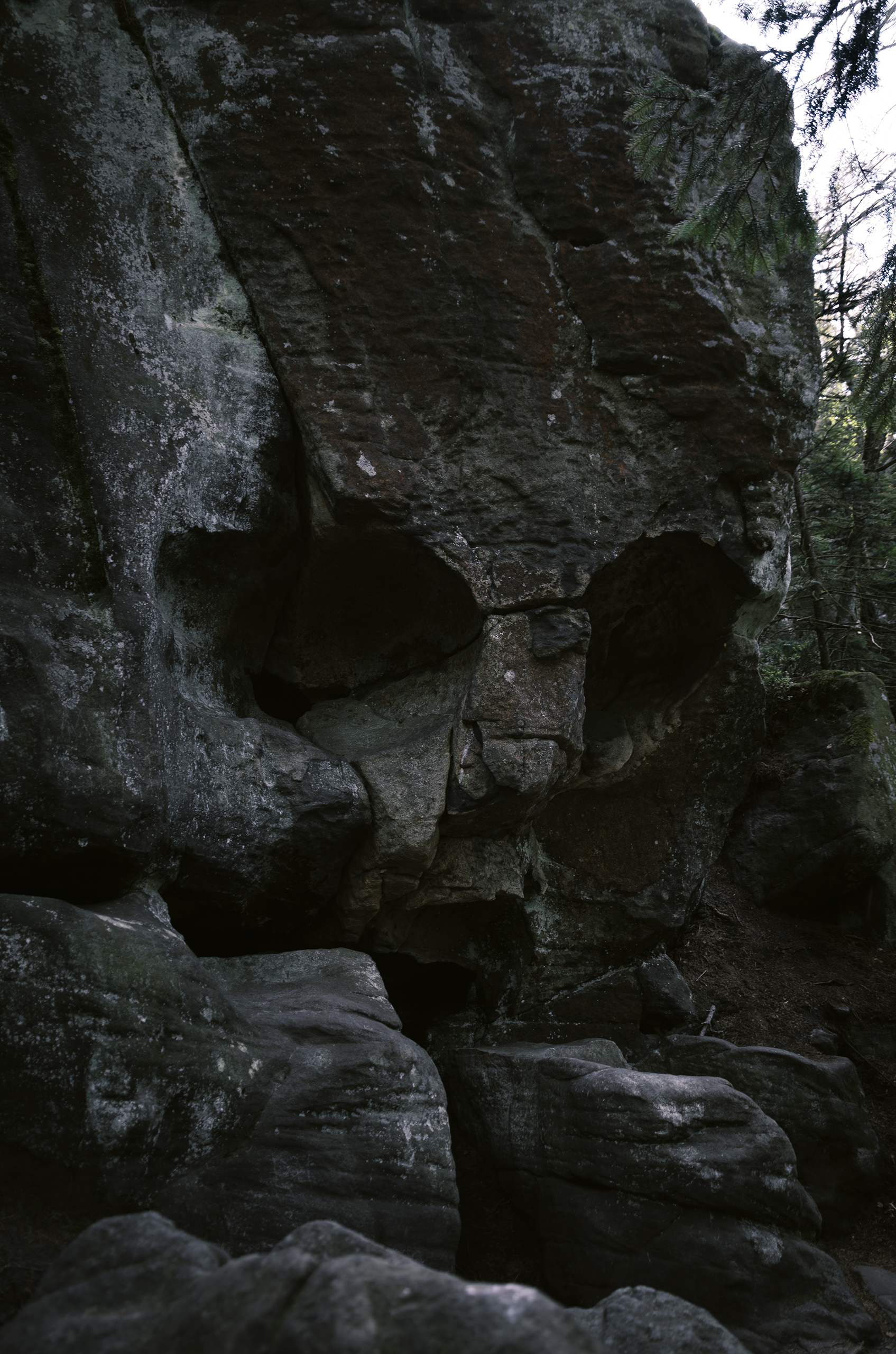
"Skalna Czaszka"
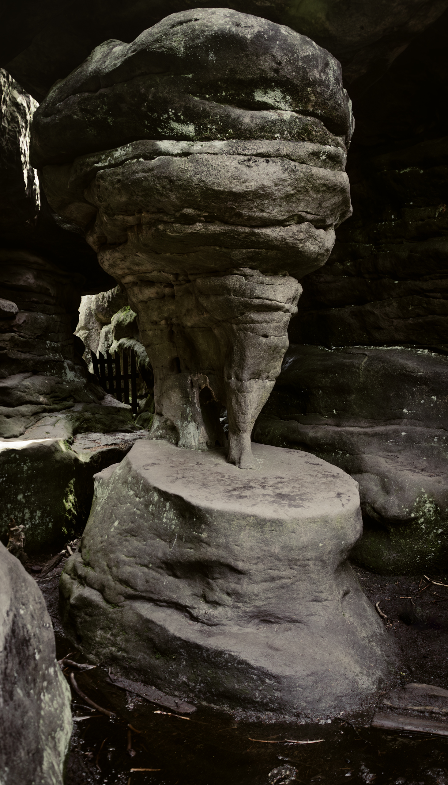
The famous rock formation called “Kurza Stopka” in Błędne Skały.
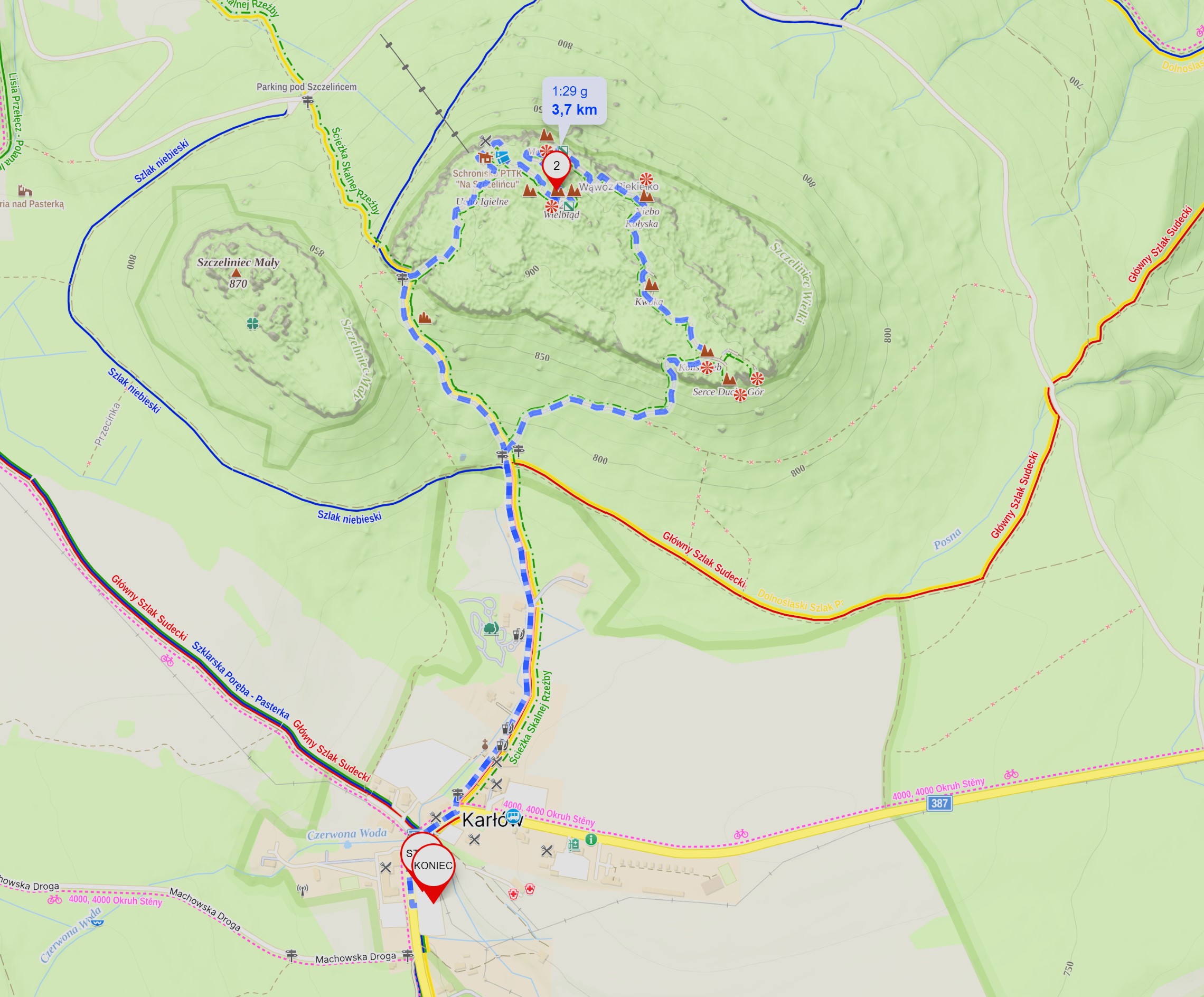
A map showing the trail to Szczeliniec Wielki. Where it says “KONIEC” (in Polish), there is a paid parking lot, source Mapy.com
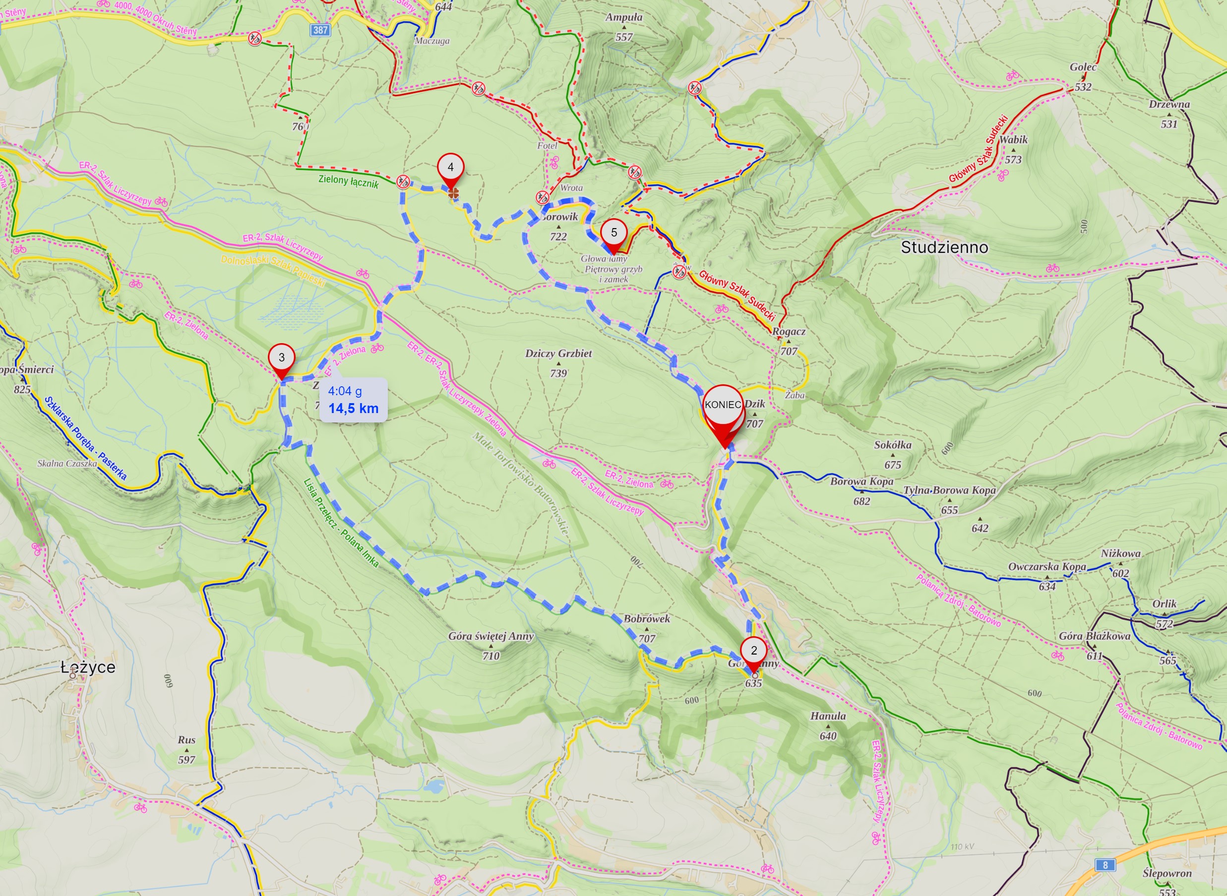
A map showing the trail to Niknąca Łąka and Skalne Grzyby. Where it says “KONIEC” (in Polish), there is a free parking lot, source Mapy.com
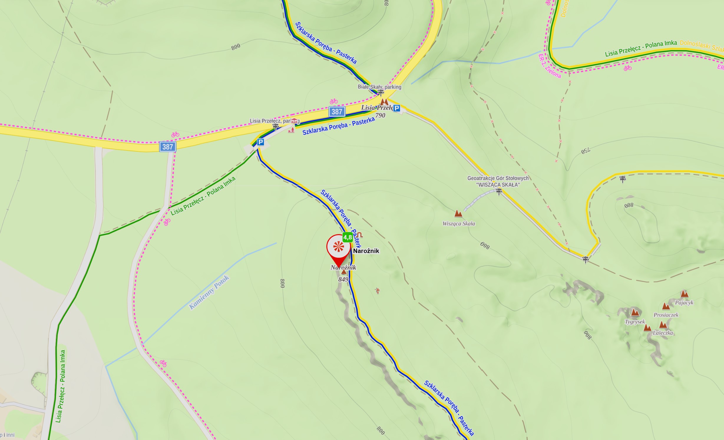
From the parking lot (which is free), it's only a 20-minute walk up a fairly steep slope to the summit of Narożnik; caution is advised, source Mapy.com
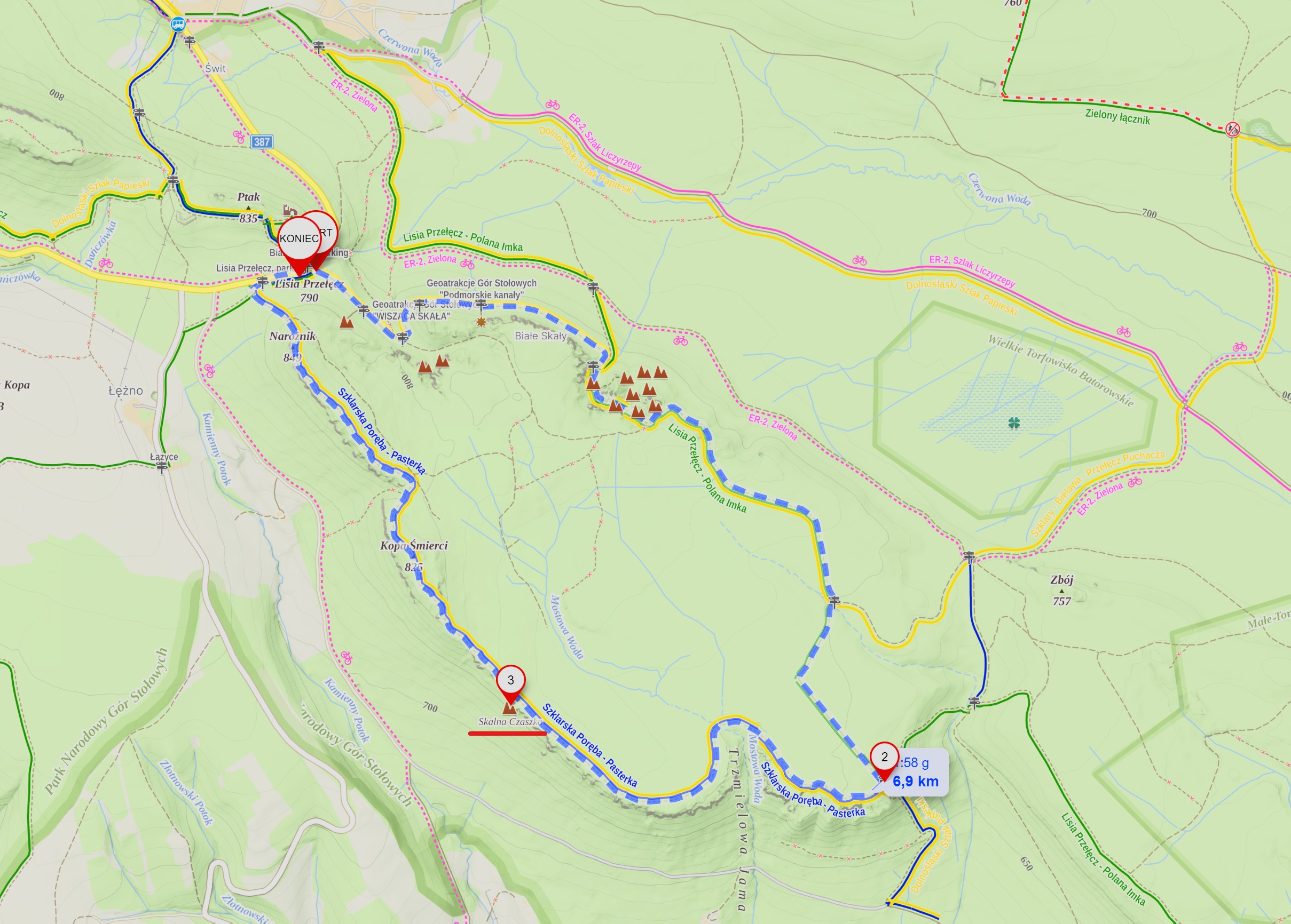
A map showing a longer route to Skalna Czaszka. Where it says “KONIEC” (in Polish), there is a free parking lot, source Mapy.com. Hiking time: 2 hours.
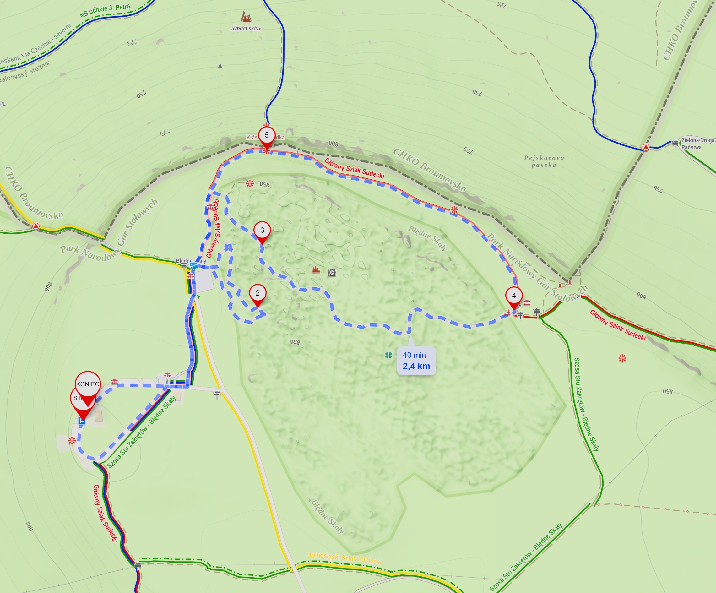
Błędne Skały - paid parking and admission, source Mapy.com.
This website uses cookies to provide you with the best possible service. Your continued use of the site means that you agree to their use. / Ta strona korzysta z ciasteczek aby świadczyć usługi na najwyższym poziomie. Dalsze korzystanie ze strony oznacza, że zgadzasz się na ich użycie.